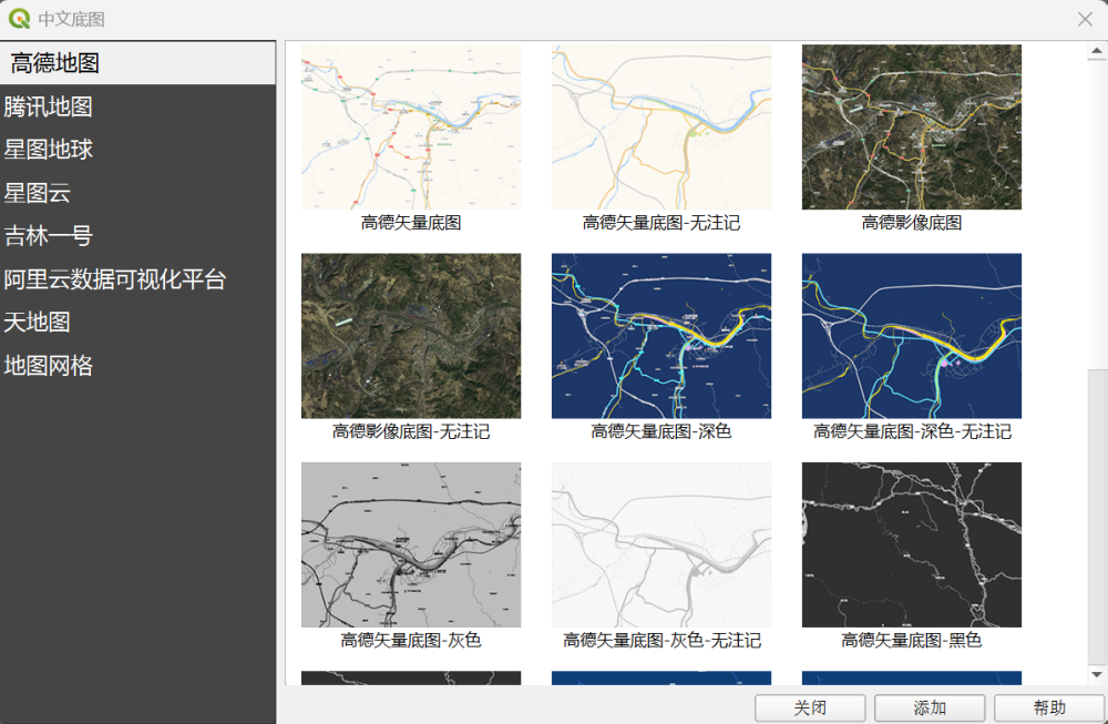
不像ArcGIS,QGIS并没有提供官方的地图服务。感谢很多的开源贡献者,开发了链接各类在线地图的插件。
主要有QuickMapServices、Chinese Basemap(中文底图)
国内使用Chinese Basemap插件就可以很方便的添加国内数据源了。数据源包括高德地图、腾讯地图、星图云、星图地球、吉林一号、天地图、行政区划和地图常用网格。

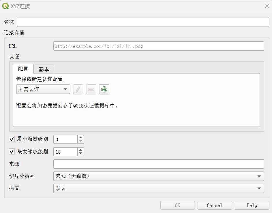
当然,除了使用插件外,直接使用QGIS自带的XYZ连接工具,也是一种很简便的方法。(XYZ即指地图瓦片数据格式的服务)

可用在线地图如下,欢迎大家补充。
天地图:访问这里,申请Token
https://t0.tianditu.gov.cn/DataServer?T=img_w&x={x}&y={y}&l={z}&tk=<申请的token>
星图地球:访问这里,申请Token
卫星影像图:https://tiles1.geovisearth.com/base/v1/img/{z}/{x}/{y}?format=webp&tmsIds=w&token=<申请的token>
地形图:https://tiles1.geovisearth.com/base/v1/ter/{z}/{x}/{y}?format=png&tmsIds=w&token=<用户的token>
矢量图:https://tiles1.geovisearth.com/base/v1/vec/{z}/{x}/{y}?format=png&tmsIds=w&token=<用户的token>
Terrain高程:https://tiles1.geovisearth.com/base/v1/terrain/{z}/{x}/{y}.terrain?v=1.1.0&token=<用户的token>
高德地图
影像图:https://webst01.is.autonavi.com/appmaptile?style=6&x={x}&y={y}&z={z}
注记层:https://webst01.is.autonavi.com/appmaptile?style=8&x={x}&y={y}&z={z}
矢量图(无注记):https://webrd01.is.autonavi.com/appmaptile?x={x}&y={y}&z={z}&lang=zh_cn&size=1&scl=2&style=8
矢量图:https://webrd01.is.autonavi.com/appmaptile?x={x}&y={y}&z={z}&lang=zh_cn&size=1&scl=1&style=8
腾讯地图
矢量图:https://rt0.map.gtimg.com/realtimerender?z={z}&x={x}&y={-y}&type=vector&style=0
Bing Aerial(必应地图)
http://ecn.t3.tiles.virtualearth.net/tiles/a{q}.jpeg?g=1
有更多问题,联系我们。欢迎交流,转载请注明出处。